About

AusSeabed is a collaborative national seabed mapping initiative that is central to the Australian seabed information ecosystem. It was established in 2018 and focuses on delivering freely accessible seabed mapping data and coordinating efforts to map the gaps across the Australian maritime region of responsibility. The program is governed by a cross-sector Steering Committee and Executive Board. The AusSeabed Strategy and 2025 Activities Roadmap guides the direction of the program, as we work to achieve three key goals.
Our Vision
The Australian seabed information ecosystem delivers maximum benefits to Australian Governments and users, supporting sustainable use of the marine environment, a resilient society and the growth of the Blue Economy.
Our Mission
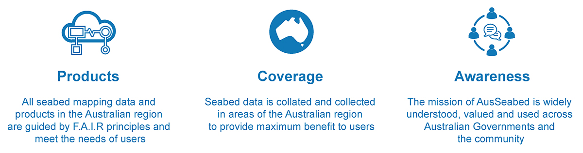
Improve the awareness, coverage, quality, accessibility and usability of seabed mapping products in the Australian region through coordination, collaboration, and innovation.
First Nations Engagement
AusSeabed seeks to engage genuinely with First Nations Traditional Custodians of Sea Country according to our First Nations Position Statement.
The AusSeabed mission will guide the development of a First Nations Strategy, whereby we will engage with First Nations Australians in the co-design of a strategy using a phased approach. We are beginning this process through consultation, community building, and the identification of representative groups to consult with.
Through this process, the AusSeabed community is committed to:
- Genuine collaborative engagement
- Embedding the cultural knowledge of First Nations Australians
- Respecting cultural and intellectual property of First Nations Australians
Our Role
AusSeabed plays a pivotal role within the Australian seabed information ecosystem. We:
- Connect stakeholders across all sectors and encourage collaboration
- Liberate seabed data and products for users
- Guide the sector towards quality standards and consistency
- Raise awareness of the importance of seabed mapping in the wider community
Program Outcomes
- Sustainable and supported federated platform adopted by users
- Coordinated activities across Australian Governments and the seabed mapping community
- Improved quality of data acquisition through adoption of common standards and tools
- Seabed mapping products support improved decision making within Australian Governments and the broader users