Bathymetry Coverage
AusSeabed is working towards displaying national coverage from all entities.
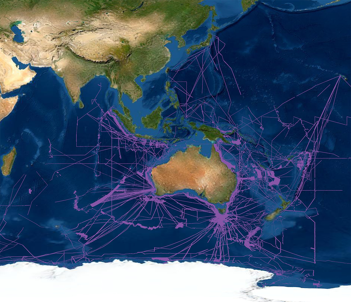
The dataset is live and will continue to be augmented as coverage is supplied from AusSeabed collaborators. Surveys have been conducted by a wide range of organisations and countries, both inside and outside Australia's marine jurisdiction, using multiple systems and for various applications. Each polygon in the layer contains metadata describing survey details. Note that polygons may not be representative of the true survey extent due to the data gridding process. The majority of multibeam polygons were constructed by gridding processed multibeam data using MBSystem software and exporting the grid for conversion into ArcGIS software. The conversion process maintained authenticity of the areas with no data (i.e. no auto fill routine was executed). To access available survey datasets, links to both bathymetry data and backscatter data have been provided in the URL columns where possible.
Note: At this point, cell size information per survey is not recoverable. The metadata were generated using a perl program written by Geoscience Australia and is imported into the attribute table of the polygon layer.