AusSeabed Annual Report highlights
The 2021/22 financial year was a busy year for AusSeabed and we are excited to share some of our achievements!
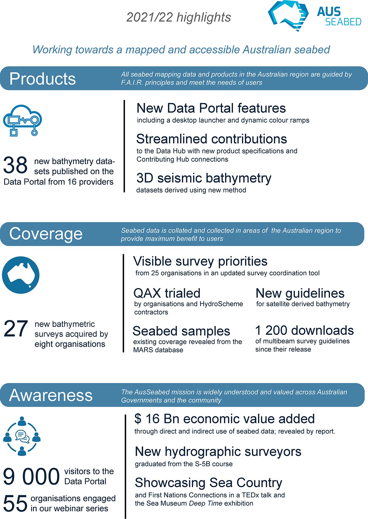
Working towards a mapped and accessible seabed, tthe AusSeabed Data Hub has published 38 new bathymetric surveys to our Data Portal, covering a 578,000 km2 - an area slightly greater than the size of Tasmania. During the year, 27 seabed mapping surveys were completed across eight organisations, covering 516,000 km2, and all will be available on the Data Portal in the future.
The Data Portal has had over 9,000 unique users, making over 12,000 visits to the portal. And thanks to the desktop launcher for the Data Portal, we’ve created a one-stop-shop to make it easier to use.
We have also continued to focus on building stronger partnerships across federal and state governments, allowing us to work together to enhance data delivery and management.
We were thrilled when our Survey Coordination Tool won the Asia-Pacific Spatial Excellence Awards for Technical Excellence’s ACT division award. 25 organisations have made their survey priorities visible through the tool. When the community share areas of need for survey information, it means that survey activities maximise collaboration opportunities, inform acquisition programs and set national priorities.
Our data quality standards are high and it’s been great to show how we are upholding these standards by providing simple, trusted pathways for AusSeabed users to access quality data. The new product specifications and metadata guidelines are also helping contributors to ensure that their data meets the required quality standards before it is submitted to the AusSeabed Data Hub. And new data is coming in to AusSeabed all the time, expanding the diversity of seabed data available.
Read more in our full annual report. The work is ongoing and we are looking forward to another busy year of making high-quality seabed data available to all.
