Celebrating 100 Years of Hydrography
100 years ago movies were still silent, Model-T’s were the most popular car and the Australian Hydrographic Office (AHO) was established as the Australian Hydrographic Service under the Royal Australian Navy. Now within the Department of Defence, AHO’s milestone as our national charting authority reflects tremendous progress and technological evolution.
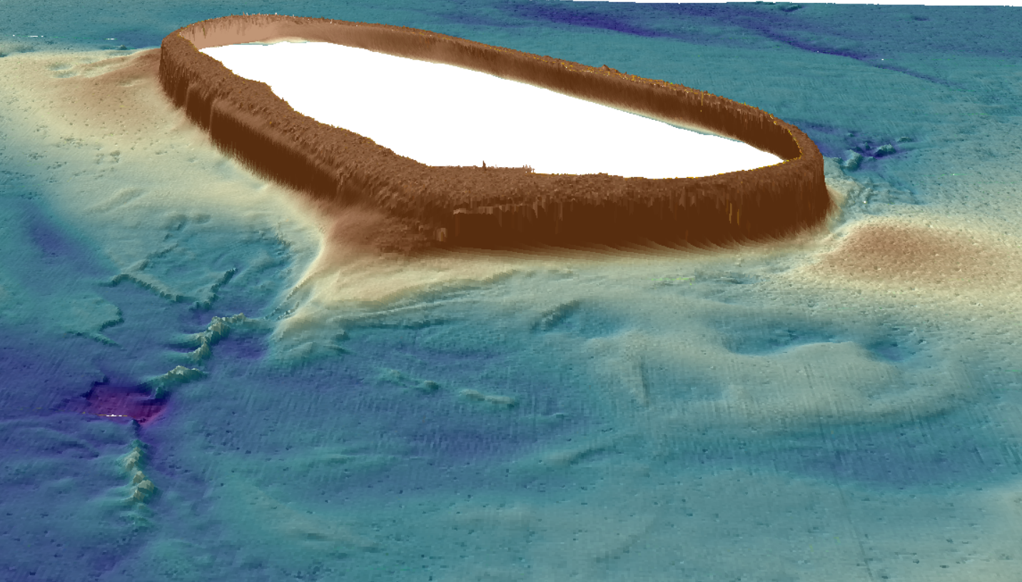
Hydrography is essential for the production of nautical charts, and therefore vital for safe and efficient navigation across waters. Over the last 100 years we have made amazing discoveries and improvements to how we learn, navigate and map our oceans. We first started using lead weight surveys to map ocean depth. Technology has come a long way since then and we are now able to remotely measure depth, rather than take manual readings. Multibeam sonar (MBES) is based on a vessel and uses sound data to capture its surroundings, Satellite Derived Bathymetry (SDB) uses spectral data, and Light Detection and Ranging (LiDAR) technology uses pulsed laser. With only 40% of Australia’s seafloor mapped to a high resolution, these sensors are critical for mapping a clearer picture of our entire ocean floor, from deep ocean to shallower coastal waters. This advanced hydrographic data can also be used to create incredible 3D models of the seafloor. On top of helping us navigate, this data is fundamental to the management of our marine estate, discovering unexplored reef and new species, identifying sites with First Nations peoples, and contributing to more efficient, less invasive fishery practices.
With AHO as a key partner of AusSeabed and Geoscience Australia, we are looking forward to the next 100 years of discoveries and important marine projects.
Check out more stories celebrating various aspects of AHO’s 100 year history: https://www.hydro.gov.au

Image credit: Geoscience Australia