Join our Community
About
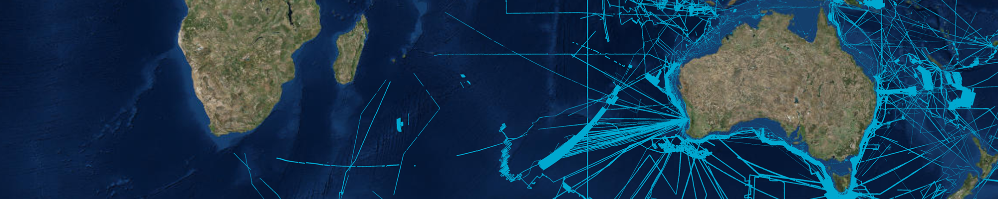
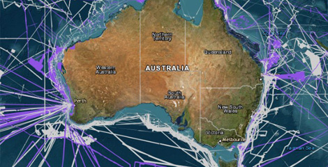
Seabed Mapping
Governance
Collaborators
Our Community
Related Programs
Frequently Asked Questions
Steering Committee Elections
Data Portal
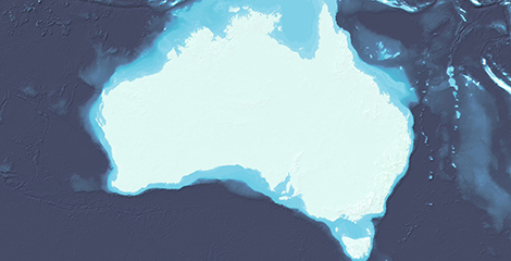
Bathymetry Coverage
Publication Schedule
Product Specifications
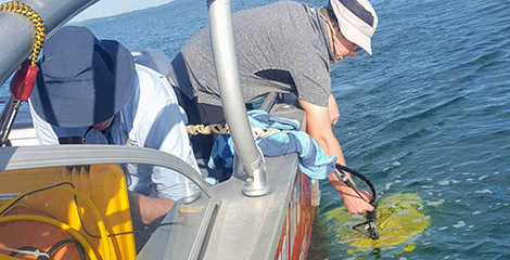
Data Submission
Survey Coordination Tool
Quality Assurance Tool
Quality Assurance Tool
Training Material
Feedback Form
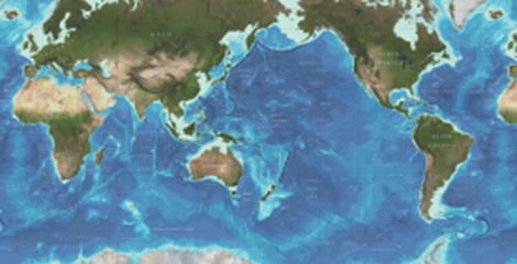
GMRT-AusSeabed
Resources
Seabed geomorphology scheme and tools
News
Newsletters
Relevant Guidelines
Record Templates
Publications & Presentations
Workshops and Presentations
System Capability Catalogue
Systems Available
Permit Information
Education
Open Source Repository
Other Tools
Latest News
AusSeabed ECOP Election
25 February 2025
Steering Committee Nominations open!
13 May 2024
New Australian Sub-bottom Profiler Guidelines released
3 November 2023
New seabed maps give sneak peek at what lies beneath
18 October 2023
Seabed 2030 and the 120th Anniversary of The General Bathymetric Chart of Oceans (GEBCO)
26 June 2023
AusSeabed Workshop – Coordinating and Measuring our Seabed Mapping Process
16 June 2023
Read more